Clouds pictures
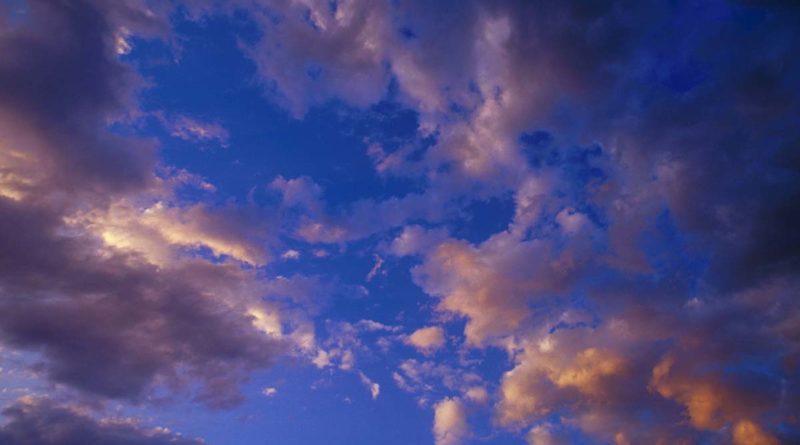
Precipitation, which is a general term for rain, sleet, snow and hail, is a major factor in the earth’s water cycle. Precipitation comes from clouds, which are a mass of tiny water droplets or ice crystals, or both, suspended in the atmosphere. If a cloud saturated with water vapour cools down to its dew point (when water vapour turns from an air mass into a liquid or solid state) this water vapour eventually returns to earth in the form of precipitation. Clouds as you can see in these pictures reflect all visible wavelengths of light equally and thus are white, but they can appear grey or even black if they are so thick or dense that sunlight cannot pass through.
There are various cloud classifications but meteorologists generally use an internationally agreed form based on cloud appearance and height. This uses 10 principles:
Cirrus cirrostratus and cirrocumulus are high clouds, normally above 5000 metres.
Altocumulus and altostratus are medium-high clouds at about 2000 – 5000 metres.
Stratus, stratocumulus and nimbostratus are clouds at levels below 2000 metres.
There are also clouds which form vertically and so cannot be classified by height; these are generally known as cumulus and cumulonimbus clouds.